
Product Introduction

Just Walk and Scan
Cybermap is designed to be handheld and just walk and scan at any time, anywhere.

Relying on no Satellite
Capable of completing rapid real-world 3D modeling and building the integrated digital twin of the space in case of satellite signal is weak or lost.

Scan in Multiple Ways
Cybermap can be used conveniently in multiple ways, including handheld, backpack, vehicle-mounted and UAV-mounted, which make it efficient to complete your scan in almost all kinds of environment.

Lower Cost Solution
Fast spatial point cloud collection and 3D point cloud reconstruction in real time,
10 times more efficient than traditional methods.

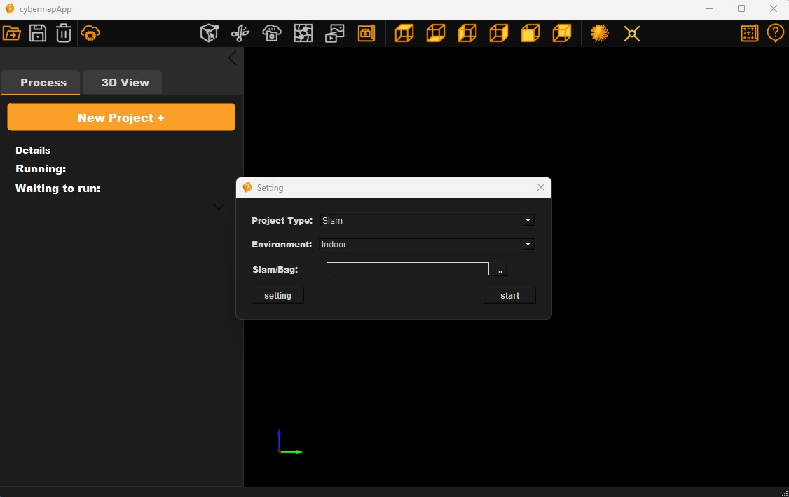
User Friendly Software
Just drag and drop raw data directly, point cloud data will be automatically processed with our advanced SLAM technology which achieved centimeter-level high precision 3D point cloud modeling.

SLAM 3D Space Reconstruction
Rotary 3D-SLAM algorithm, large field of view angle of 270*360, capturing centimeter-level point cloud model fastly, scanning speed as high 600㎡/min.
Application Cases
Interior Space Modeling
Interior Space Modeling
Quickly obtain high-precision 3D point cloud data for indoor Spaces using handheld Cybermap, and complete 3D space modeling with an area of 2450 square meters in just 10 minutes.
Factory digital twin
Factory digital twin
Use Cybermap to quickly build a 3D digital twin of a nearly 1775 square meter factory using handheld mobile scanning. High-precision point cloud output facilitates the modeling of plant facilities.
High precision interior space modeling and reverse construction
High Precision Indoor Space Modeling and Reverse Engineering
Model your office in 15 minutes. In the case of loss of original CAD drawings, reverse engineering technology is used to output CAD drawings and import 3D models into BIM system.
Urban infrastructure maintenance
Urban Infrastructure Maintenance
Cybermap builds color digital twins of commercial buildings in read time and performs ultra-fast inspection and modeling. Traditional solutions take three days, while drones and handheld scanning can be done in one hour.


Capable of quickly building the digital twin of the space. No matter the scan environment is outdoor, indoor, or underground, Cybermap SLAM technology enables high-precision mapping, fast acquisition of geospatial data and physical space virtualization without the need for GPS satellite signals.
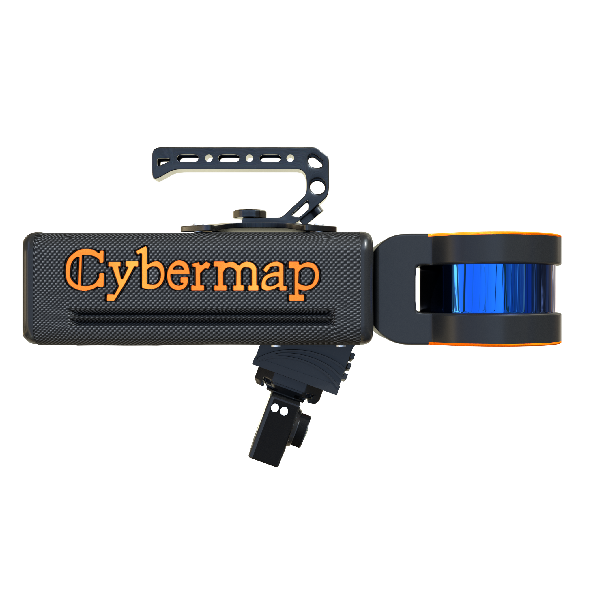
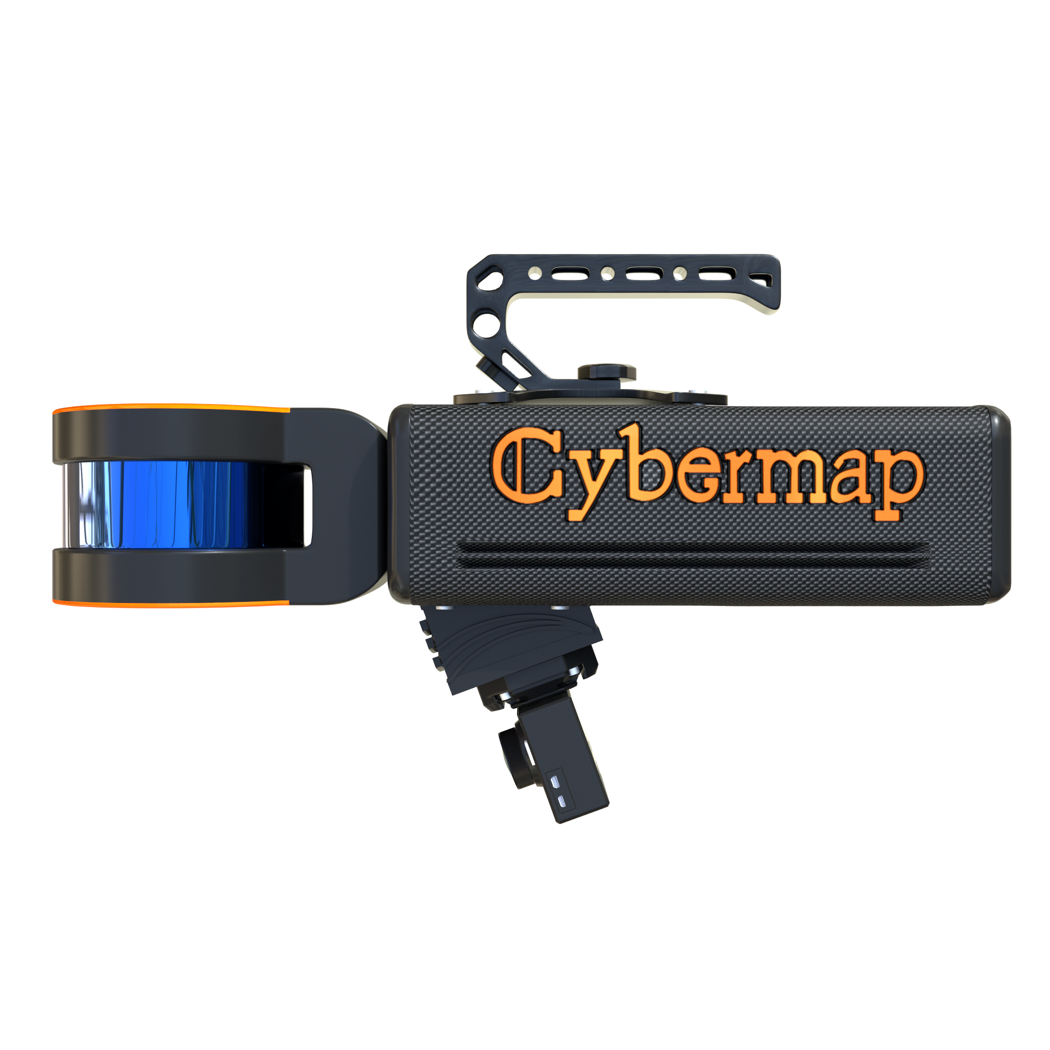
An intelligent mobile LiDAR scanning device which is capable of working in multiple ways, such as handheld, backpack, vehicle-mounted and UAV-mounted, providing efficient mapping in challenging and inaccessible areas.
Cybermodeling software integrates the powerful SLAM technology algorithm of ZZCOMM. Just drag and drop raw data directly, point cloud data processing will be automatically completed. Acceleration, high-quality point cloud filtering, automated registration and other technologies were built-in.
With the succinct software interface, the process operation is simple and convenient. Automatically record project time and autonomously generate time-labeled data sets. Open the folder where the data is located with one click to quickly obtain the data.
Advanced 3D point cloud and image pixel-level fusion algorithms to automatically generate colorized point cloud models were integrated.
Cybermodeling Software

About us
Product
Resources
Market and Support